;

Civil War Blog

A project of PA Historian

Gettysburg Photo Essay: The First Day

Posted By on July 14, 2013

Commemorating the first day of the Battle of Gettysburg through photographs. All were taken on the battlefield west of Gettysburg, in the area that saw much of the fighting on July 1, 1863. A storm on the western horizon gave the area a dark, foreboding feeling as thunder rumbling in the distance mingled with the sound of reenactor’s cannons on Seminary Ridge. The conditions on that day, with the storm coming and the masses of people will not soon be forgotten.

It was an amazing experience to be out there with so many other Civil War buffs, and others whose interest in the war is only developing. While many folks interesting in heading to Gettysburg this summer may fear the large crowds, it can be a great asset at times. People from all over the country and the world have descended on Gettysburg this week to commemorate the battle through many different forms. New friends and experiences are bound to be the result.

DSCF4866

DSCF4867

DSCF4876

DSCF4882

DSCF4885

DSCF4894

DSCF4897

DSCF4898

DSCF4902

DSCF4915

DSCF4925

DSCF4929

IMG_1039

IMG_1045

IMG_1065

IMG_1067

IMG_1075

Jebediah Hotchkiss, Confederate Mapmaker, and Lykens Valley School Teacher?

Posted By on July 13, 2013

Few men were as important to the Army of Northern Virginia as Jebediah Hotchkiss. Hotchkiss had served the army throughout the war, and gain notoriety with “Stonewall” Jackson as a mapmaker. In early 1863, thirty-five year old Hotchkiss was given the task of sending scouting parties to map the Shenandoah and Cumberland Valleys from Virginia to Harrisburg, PA. The suggestion was, even at that early date, that a movement northward may be the plan for the summer of ’63.

Jebediah Hotchkiss

Jebediah Hotchkiss

Hotchkiss sent men north in civilian clothes, sketching the Pennsylvania countryside to bring back to their captain, the chief mapmaker of the Confederate Army. The result was a map that showed much of the south-central Pennsylvania countryside, and which would help the Confederates move northward with some idea of the ground they may encounter.

The area of Harrisburg in his 1863 map

The area of Harrisburg in his 1863 map

But, it seems that Hotchkiss may not have been as unaware of the Keystone State’s terrain as some of his Virginia colleagues.

Jebediah Hotchkiss was born in Windsor, New York during latter half of 1828. In the small community near Binghampton, tucked along the Susquehanna River and the mountains of central New York, Hotchkiss attended school until he was 18.

Hotchkiss seemed to take up an interest in teaching and by the summer of 1846 he had earned his first teaching job. He had headed south from his New York home towards the Pennsylvania anthracite region, and had settled into the tight-knit community of the Lykens Valley. What happened during his time in the Lykens Valley is relatively unknown. However, it appears he may have taken an interest in the field of engineering, especially in that of mining.

He made this map of Pennsylvania during the war, here is the section of the Lykens Valley, which he probably knew very well.

He made this map of Pennsylvania during the war, here is the section upper Dauphin County which he probably knew very well.

His diary records a trip to Harrisburg in the summer of 1847, as he left the Lykens Valley headed for the mountains of Virginia. His diary reveals an interesting irony in the route he took. He discusses his time in the capital, before heading out across the Susquehanna River and down the Cumberland Valley to Carlisle and then into Maryland. This would be the same route Robert E. Lee would choose to invade Pennsylvania, using the maps Hotchkiss had drawn up.

Following the Civil War, nearly all his maps were saved and utilized in the official reports of the War of the Rebellion. Today, they reside in the Library of Congress and can be accessed online here.

After the war, Hotchkiss continued teaching in a school he founded before the war in Staunton, Virginia. He also began work as a consultant for mining companies in western Virginia, mostly as an engineer. This interest in the field of mining may very well have developed in 1846, while he spent time in the lucrative coal fields of the Lykens Valley.

Close up view of the same map

Close up view of the same map

Hotchkiss died in 1899 at the age of 71. He is buried in his adopted Virginian hometown of Staunton.

Another Civil War: Labor, Capital, and the State in the Anthracite Regions of Pennsylvania, 1840-1868

Posted By on July 12, 2013

When doing research on topics for this blog, I came across a book that discussed the anthracite region of Pennsylvania in a way that I had never before seen. Author Grace Palladino’s 2006 book Another Civil War explores the role of the developing labor movement among coal miners of Northeastern Pennsylvania. She points out how this labor movement shaped events in Pennsylvania during the Civil War, and how Pennsylvania then thoroughly crushed the movement.

Here is the official book description from Amazon.

Winner of the Avery O. Craven Prize of the Organization of American Historians Another Civil War explores a tumultuous era of social change in the anthracite regions of Pennsylvania. Because the Union Army depended on anthracite to fuel steam-powered factories, locomotives, and battle ships, coal miners in Schuylkill, Luzerne, and Carbon Counties played a vital role in the Northern war effort. However, that role was complicated by a history of ethnic, political, and class conflicts: after years of struggle in an unsafe and unstable industry, miners expected to use their wartime economic power to win victories for themselves and their families. Yet they were denounced as traitors and draft resisters, and their strikes were broken by Federal troops. Focusing on the social and economic impact of the Civil War on a group of workers central to that war, this dramatic narrative raises important questions about industrialization and work-place conflicts in the mid-1860s, about the rise of a powerful, centralized government, and about the ties between government and industry that shaped class relations. It traces the deep, local roots of wartime strikes in the coal regions and demonstrates important links between national politics, military power, and labor organization in the years before, during, and immediately after the Civil War.

For anyone interested in the dynamics of labor in the midst of war, this is the book for you. Palladino analyzes other political and military issues present in the anthracite region during the war including race, money, and elections.

A good summer read that will give you great information about the coal region during the Civil War; local history that is oftentimes neglected.

The Dead of Gettysburg

Posted By on July 11, 2013

The estimated 51,000 casualties at Gettysburg came in many different forms. Most were the wounded; tens of thousands of men injured by bullets, shells, or any number of other potentially fatal encounters faced in battle. Some were captured over the battle’s three day span. However, Gettysburg’s saddest cases involved those who were killed on the field of battle.

From the many tales told of the struggle at Gettysburg, it is known that these were some of the hottest days of 1863. Those fighting faced temperatures that reached easily into the 90s. The bodies of those killed would sit on the field for several days, exposed to the vicious sun and heat of early July.

Thousands of horses also perished in the fight at Gettysburg.

Thousands of horses also perished in the fight at Gettysburg.

Areas around the first day’s battlefield, west of Gettysburg, were the first to be greeted by the stench of decaying flesh. Over the course of the battle, manpower was not present enough in most areas to begin the task of burying the dead. In other cases, the dead lay between the lines, meaning they were unreachable until the fighting ceased.

UnionDead

The unenviable task of burying the Union and Confederate dead fell to townspeople, militia men, and those who stayed behind with the army of wounded soldiers surrounding Gettysburg. This was a tall task, even in good conditions.

Instead, an estimated 8,000 decaying corpses lay scattered across many square miles of territory. They had already been exposed to the sun, and the intense rainstorms following the battle did little to mend the situation.

As “Description of the Battlefield of Gettysburg” described, it took days and days to finally be able to bury the dead from both sides. Unfortunately, Union men took precedent over those of the Confederates, and many a Southern soldier was left in the open air for more than a week.

The bodies of Confederate soldiers lined up for burial.

The bodies of Confederate soldiers lined up for burial.

Temporary graves dotted the landscape of Gettysburg, with their basic wooden head boards and their freshly tilled earth. Those were the lucky ones. Many of the bodies would never be positively identified.

In the weeks and months following the battle, graves were dug up and moved to new homes in either the newly formed National Cemetery at Gettysburg, or to places back home for those who could be identified. Sadly, Confederate graves were left untouched in this process, as at the time, it was felt to be improper to give such an honor to the enemy. In the years following the war, Confederate graves were unearthed and many were taken to Hollywood Cemetery in Richmond, Virginia.

It is gruesome to think about such tragedies. However, it is necessary to examine these stories to convey the horrors of this war. Too many times today, the Civil War is glorified for its heroes and its battles, but the true cost of war needs to be shared as well.

A Description of the Battlefield at Gettysburg

Posted By on July 10, 2013

This account of the battlefield in the days following the fight comes from the Daily Patriot and Union published July 11, 1863.

Gettysburg


“The battle field around the quiet town of Gettysburg will be an object of absorbing interest to many of our citizens for weeks to come. We visited the scene of the strife on Thursday [July 9, 1863], and can truly say that it is the saddest commentary on human ambition it has ever been our lot to behold. Any one anxious about the definition of the word Glory will find the answer in the valley in front of Round Top, where numbers of bodies lie bleaching in the sun on the gray granite rocks, in every stage of decomposition, and without a single mark of identification, doomed to lie there exposed to the elements, in every conceivable position that men killed outright will assume in their fall. Their anxious friends will never even know the horrible condition that death left them in.

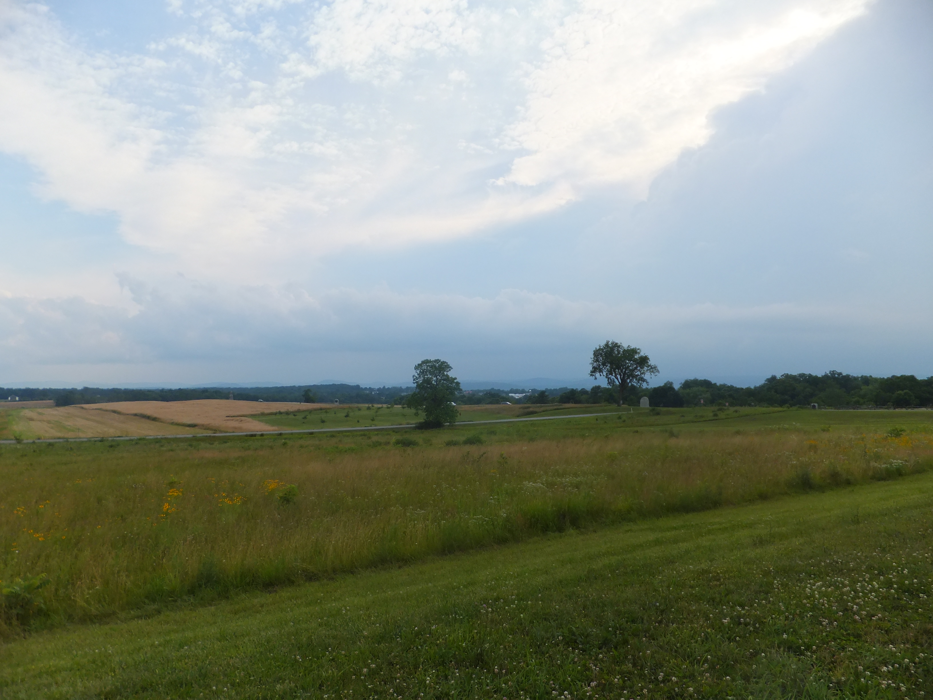
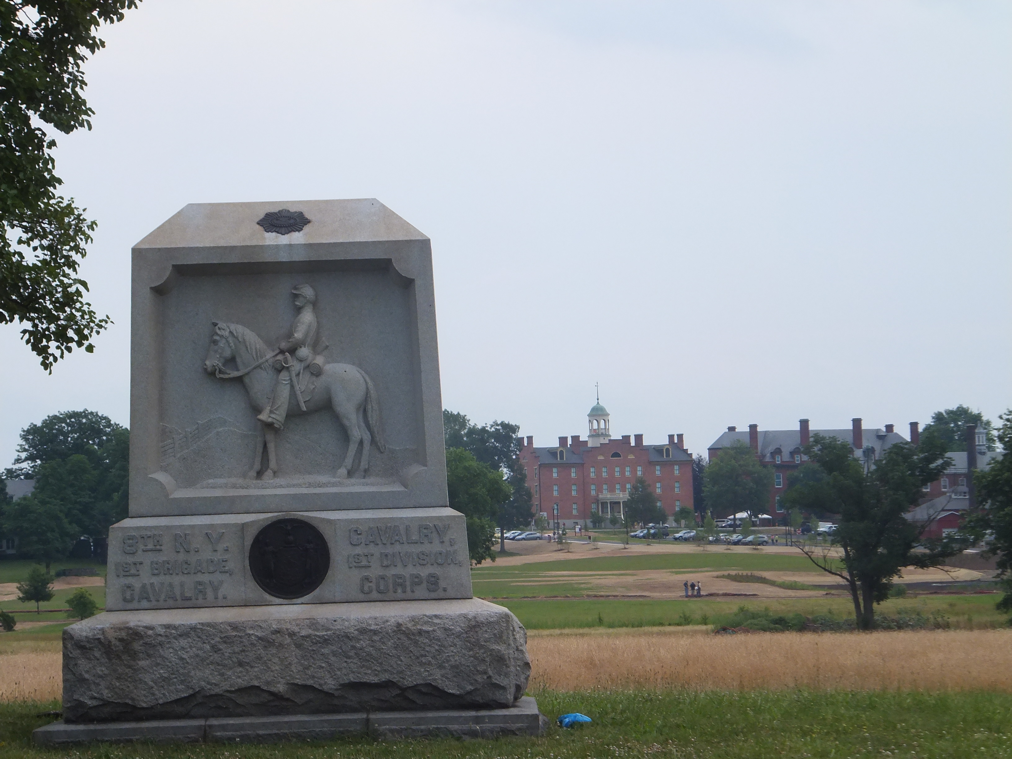
The principal scene of the conflict was a valley running north and south from Gettysburg to Emmitsburg, traversed on the western side by the Emmitsburg road, and on the eastern by the Baltimore turnpike. We started at the Pennsylvania College [Gettysburg College today] buildings, northwest of the town, and by making a slight semi-circle, kept along the line of rebel rifle pits thrown up in haste on Saturday morning to cover their retreat. These are thrown up on a gentle eminence west of the town and extend north and south, a distance of at least four miles, a portion of the way over the ground on which the battle of Wednesday was fought.

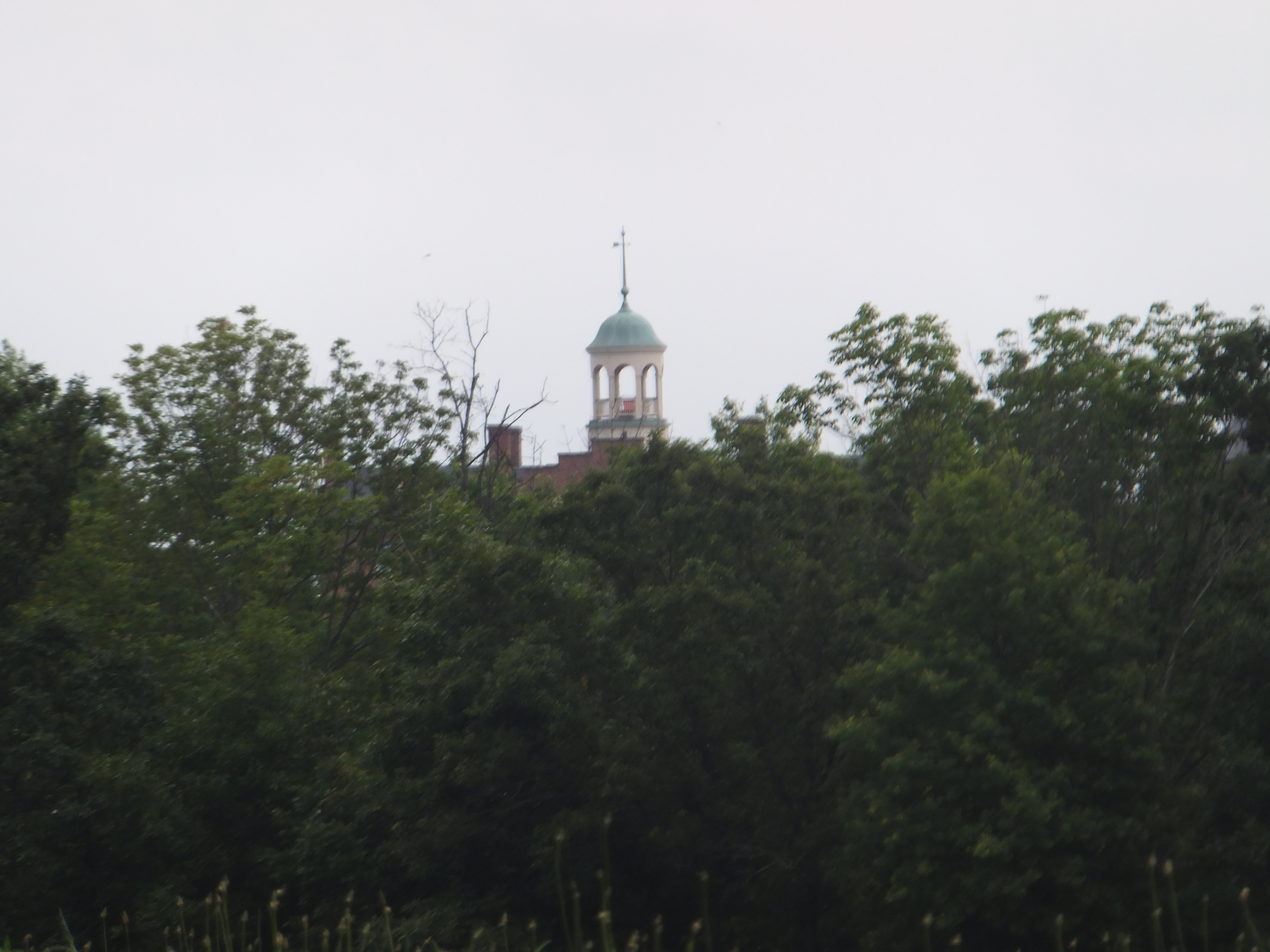
A short walk brought us to the Theological Seminary, which presented evidence of the severity of the struggle in its battered and perforated walls. In the yard, a short distance south, were a number of new-made graves, each marked with a neat head-board, giving the name and number of the regiment. The first was marked Col. R. P. Cummins, 142d Regiment, P.V. Side by side were Lieut. A. G. Tucker, Jas. Hill, and Thomas Duncan of Co. E., 142d regiment, and David J. Ripp, 121st P. V. Continuing down the ridge which seemed to have been the rebel line of defence, we saw their dead buried in scattered confusion through the woods and fields to the right, while the evidences of a severe struggle abounded everywhere – battered muskets, knapsacks and cartridge boxes, blankets and every article of clothing trampled under foot, with numbers of dead horses lying around, creating a stench perceptible miles from the battle field.

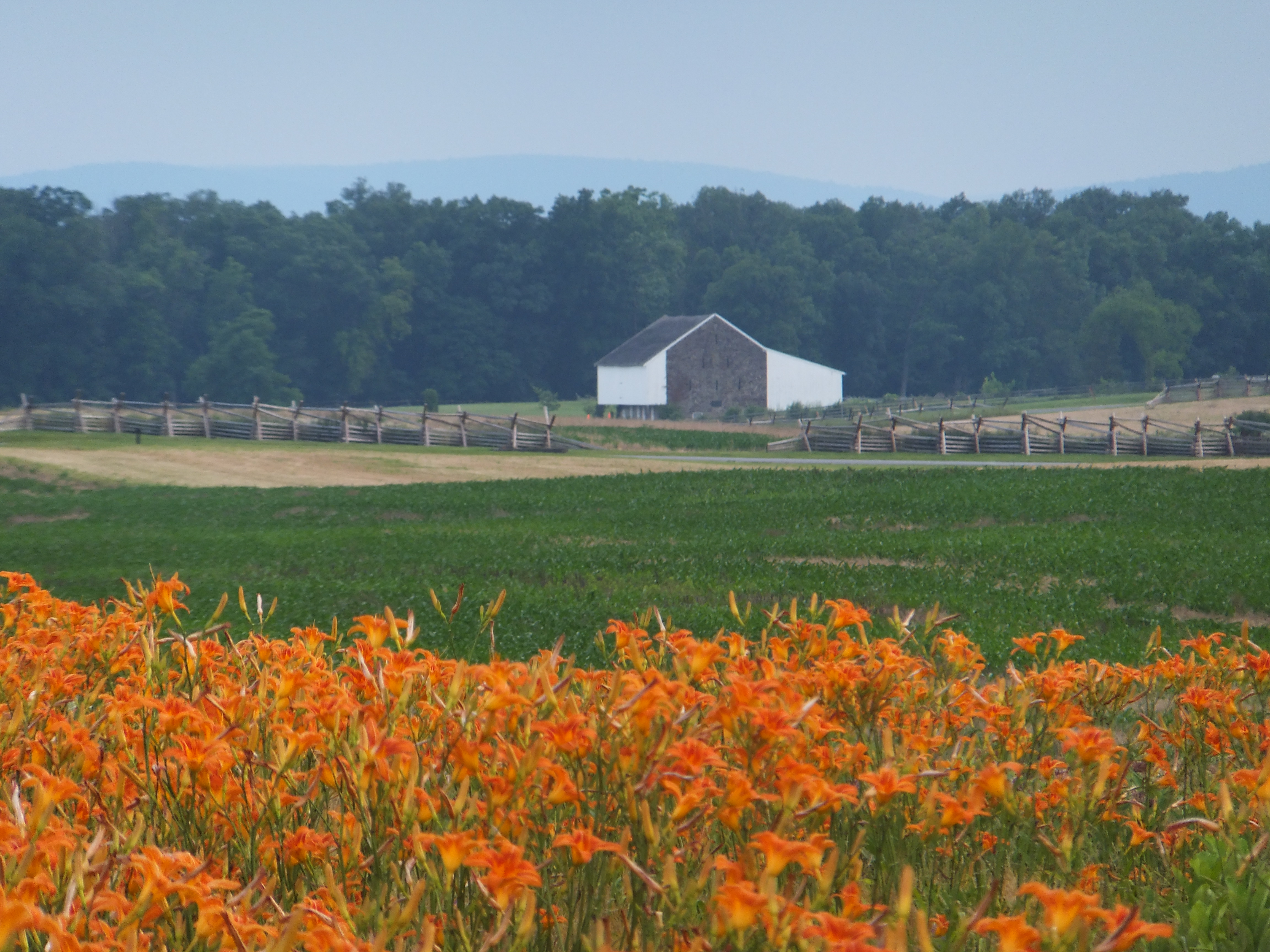
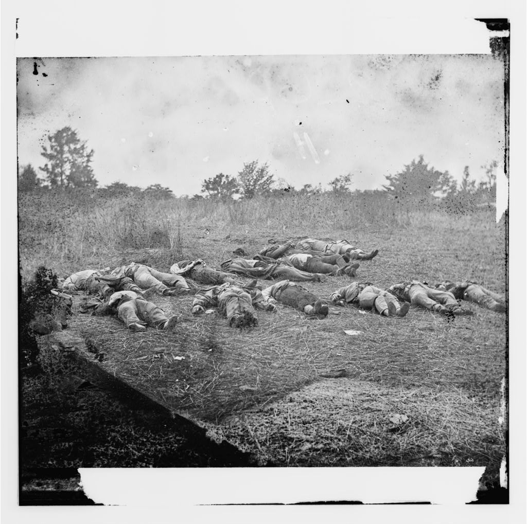
A peach orchard a short distance south of the Seminary was completely riddled with musketry, while a piece of woods adjoin showed the destructive power of artillery. Trees ten inches in diameter were completely severed by the round shot and shell, and in many instances the shell is found imbedded in the tree. Below this we found the first rebel unburied; he was shot, apparently while trying to climb the fence; his legs still on the fence, and his face in the mud. This field was lying full of their dead, just in the position they had fallen, we being able to count at least seventeen bodies all in a forward state of decomposition.

Making a direct line across the battle field toward Round Top, we passed the graves of three or four brave New Hampshire men about the center of the field. In an adjoining field were eight rebels carefully laid out side by side at the edge of a wood, ready for interment, and in the same place two officers had already been interred. On a line with these, a few hundred yards further, were buried the dead of the Irish Brigade and some Pennsylvanians, one neat head board bearing the inscription, Myers, Co. C, 99th regt. P. V., died July 2, 1863 – Hugh Holmes, same. A few steps further brought us to a gully where laid, in all the ghastly stages of decomposition, twenty eight rebel officers without a particle of ground to cover them; near them three others, apparently thrown down in haste, lay jumbled in a pile promiscuously. The woods at this place were literally riddled with balls. We found that there was a literal meaning in the phrase, “a storm of bullets.” The piles of rebel dead sufficiently indicated the sanguinary nature of the carnage.

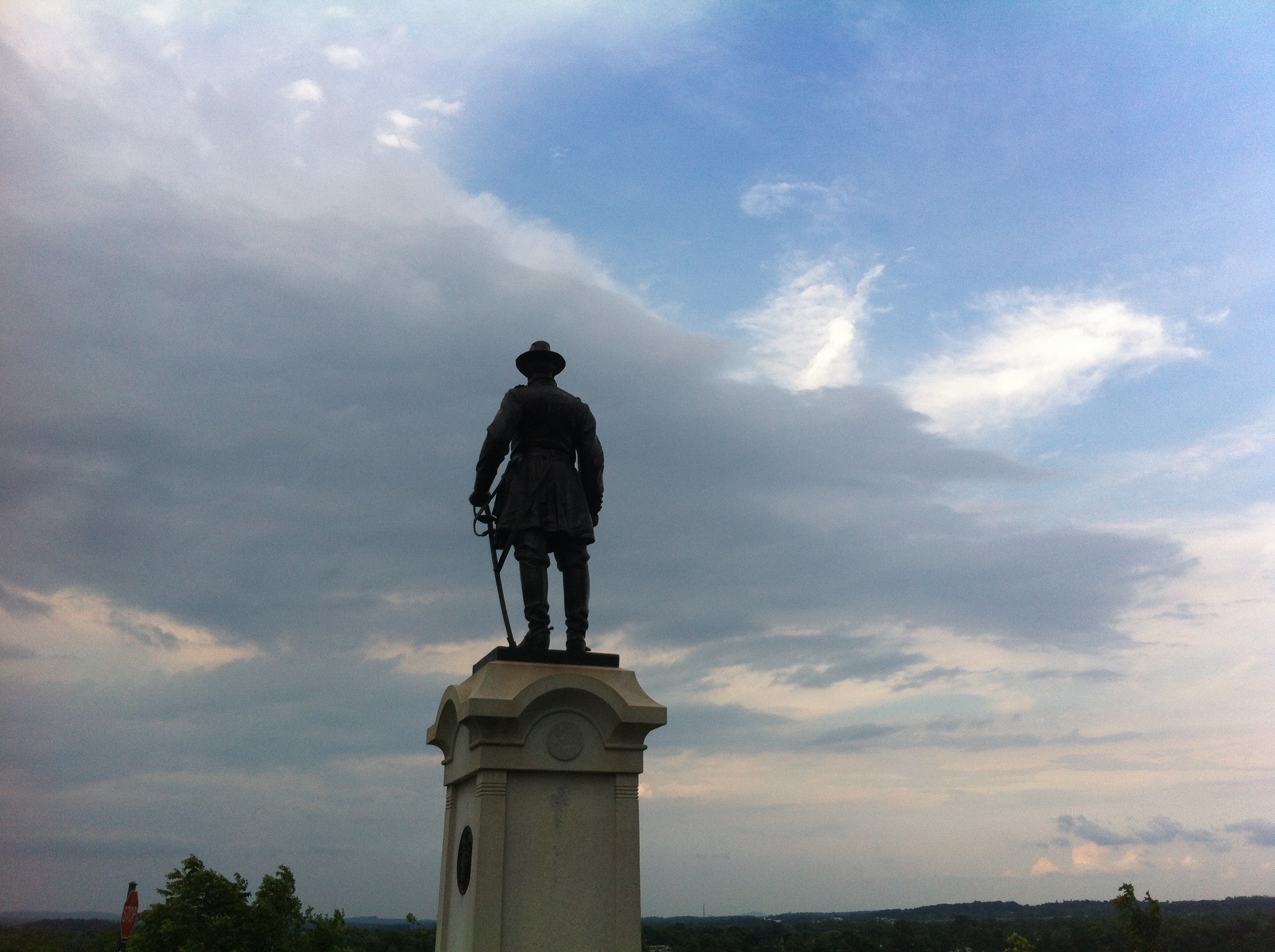
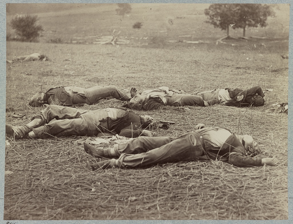
After crossing the intervening ridge, a scene presented itself which we shall never forget. The bottom of the valley is composed of granite rocks piled on top of each other. These are covered with the rebel dead, no less than seventy bodies being scattered over perhaps an acre. We hurried over this spot, and followed our line of defences to Cemetery Hill, we passed a number of neatly filled graves, including Sergeant A. F. Strock, Co. D; Captain A. M’Bride and Lieutenant Sutton Jones, Co. E, 72d Regiment P. V.; also, John M. Steffan, Captain Co. A, California regiment – all killed July 3, 1863.

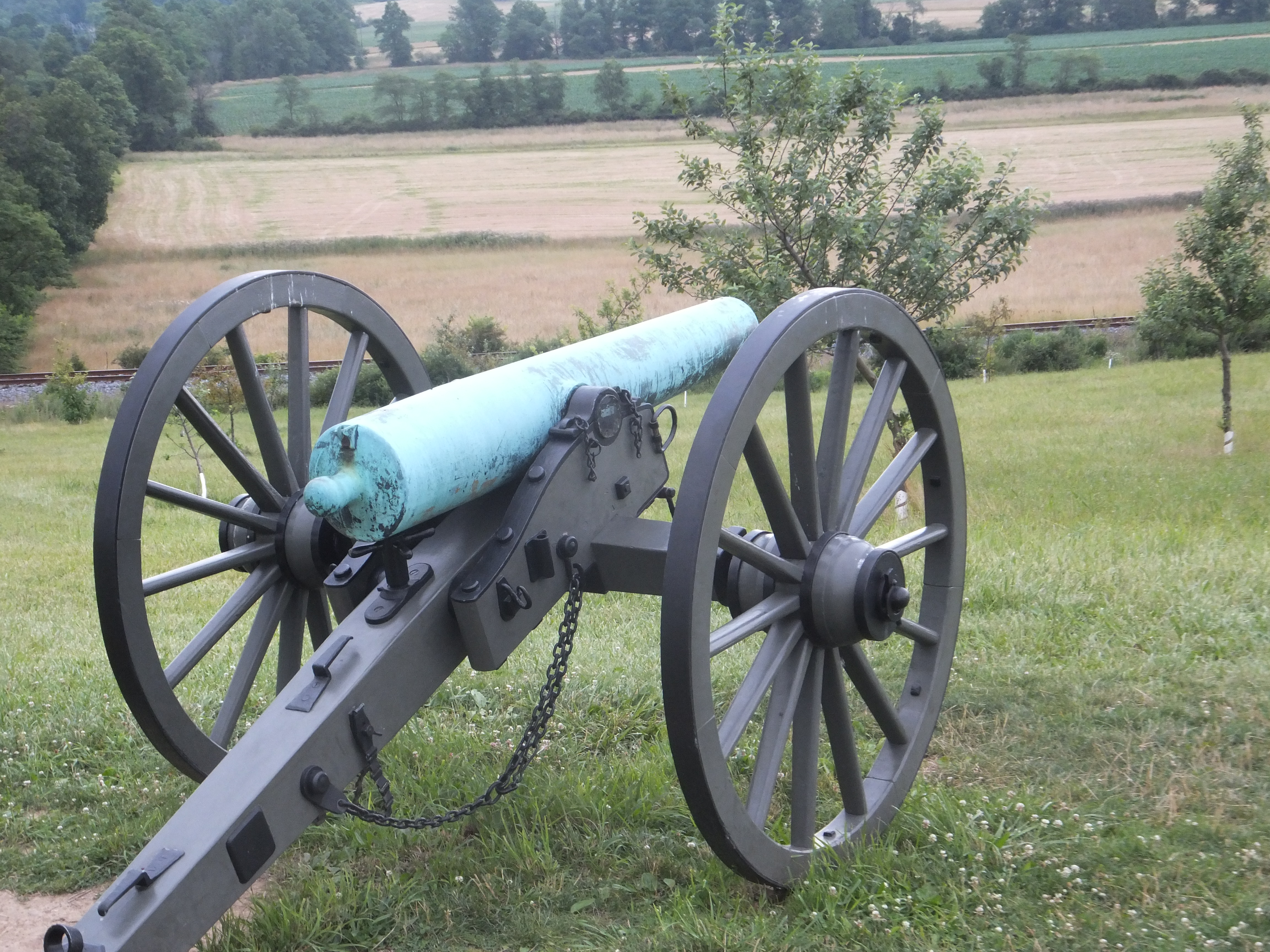
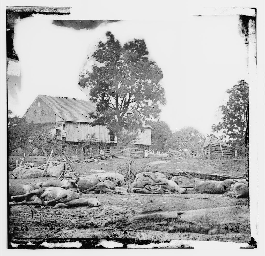
Cemetery Hill presents a deplorable scene of desolation – trampled under the feet of the infantry, and artillery horses, the marks of the artillery wagons being still plainly visible, whilst the ground is ploughed with rebel shot and shell. But any attempt at depicting the scene as presented yesterday, must, of necessity, fall so far short of the reality, that we forbear any further attempt. One of the most revolting features of the field of battle is the large number of dead horses scattered over it. Around a single small house we counted no less than sixteen, mangled in every horrible and conceivable manner.

Every house in an around Gettysburg is a hospital, in which the dressing of wounds and amputation of legs and arms was still progressing when we left the scene.