Schuylkill Banks – Reclaiming a Civil War-Era Dump
Posted By Norman Gasbarro on December 17, 2014
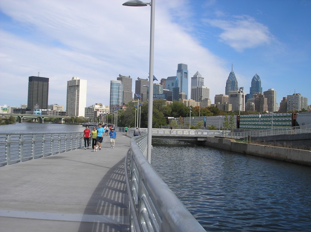
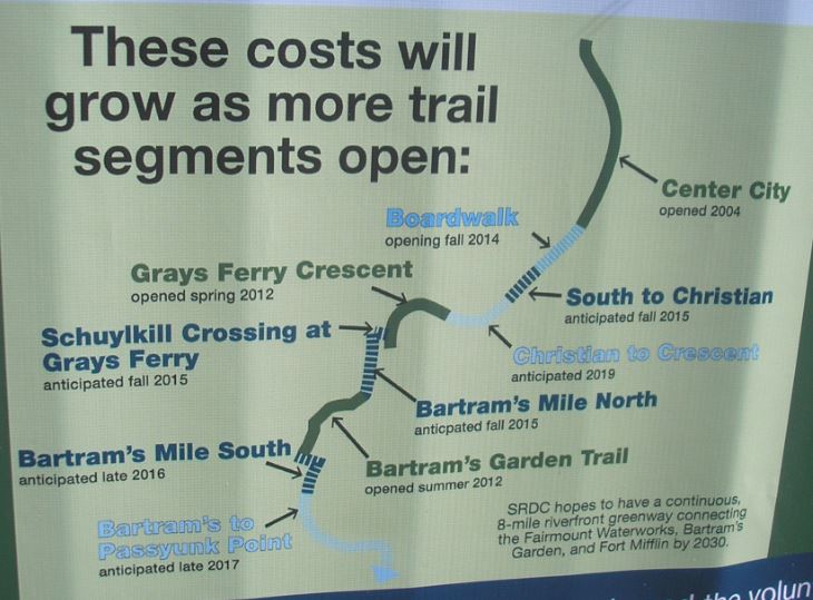
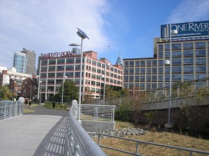
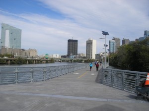
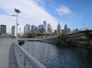
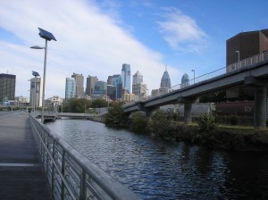
In October 2014, Philadelphia residents and visitors were treated to the opening of a new section of the Schuylkill River Trail – a “boardwalk” in the river running from Walnut Street to South Street and extending the ambitious trail further south and bringing it closer to completion. The “boardwalk” is actually a bridge with a scored concrete surface to resemble wood.
The planned trail will eventually make it possible to hike or bike nearly the full length of the river, from north of Pottsville to the point where the Schuylkill River meets the Delaware River at Philadelphia at Fort Mifflin.
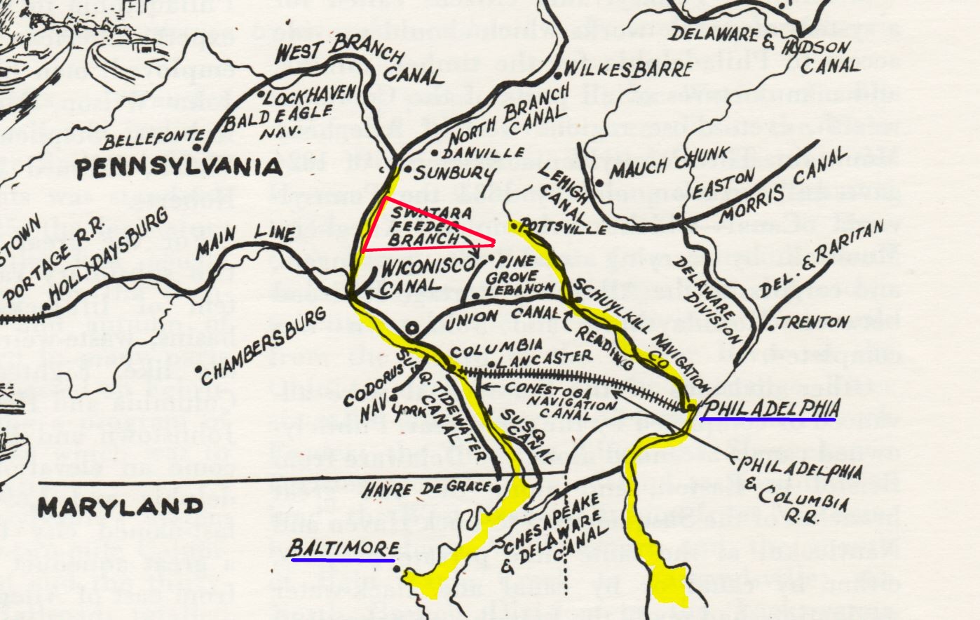
The above map shows a canal-era Pennsylvania in the period before the Civil War. The red triangle in the center represents the area of study of the Civil War Research Project. The river to the left, outlined in yellow, is the Susquehanna, and the river to the right, outlined in yellow, is the Schuylkill. The importance of these two rivers to the major cities along them – Baltimore and Philadelphia – can be readily seen as products and commerce moved along the rivers and canals to get to the port cities. With the coming of the railroad era, beginning just before the Civil War, these established cities continued to maintain their position of importance by becoming railroad centers as well.
A slightly older section of the trail (Center City) opened in 2004 and connects with the Boardwalk section just opened. These two sections were particularly challenging to planners and re-claimers because it was along this portion of the trail that old factories were located. The Civil War-era and post-Civil War-era factories chose this spot because it was accessible to rail and water transportation. Unfortunately, they used the river as a sewer and the land around the factories as a dump. Historical markers along the southern part of the Center City portion describe what had to be done to get trees to take root along the river bank. And, the moving of the trail on a “boardwalk” into the river was done so as not to disrupt or re-locate the freight railway that runs along the river bank edge. Note: Rail cars can be seen in the photo at the top of this post. The entire Philadelphia section of the trail wont be completed until the year 2030.
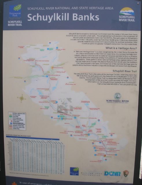
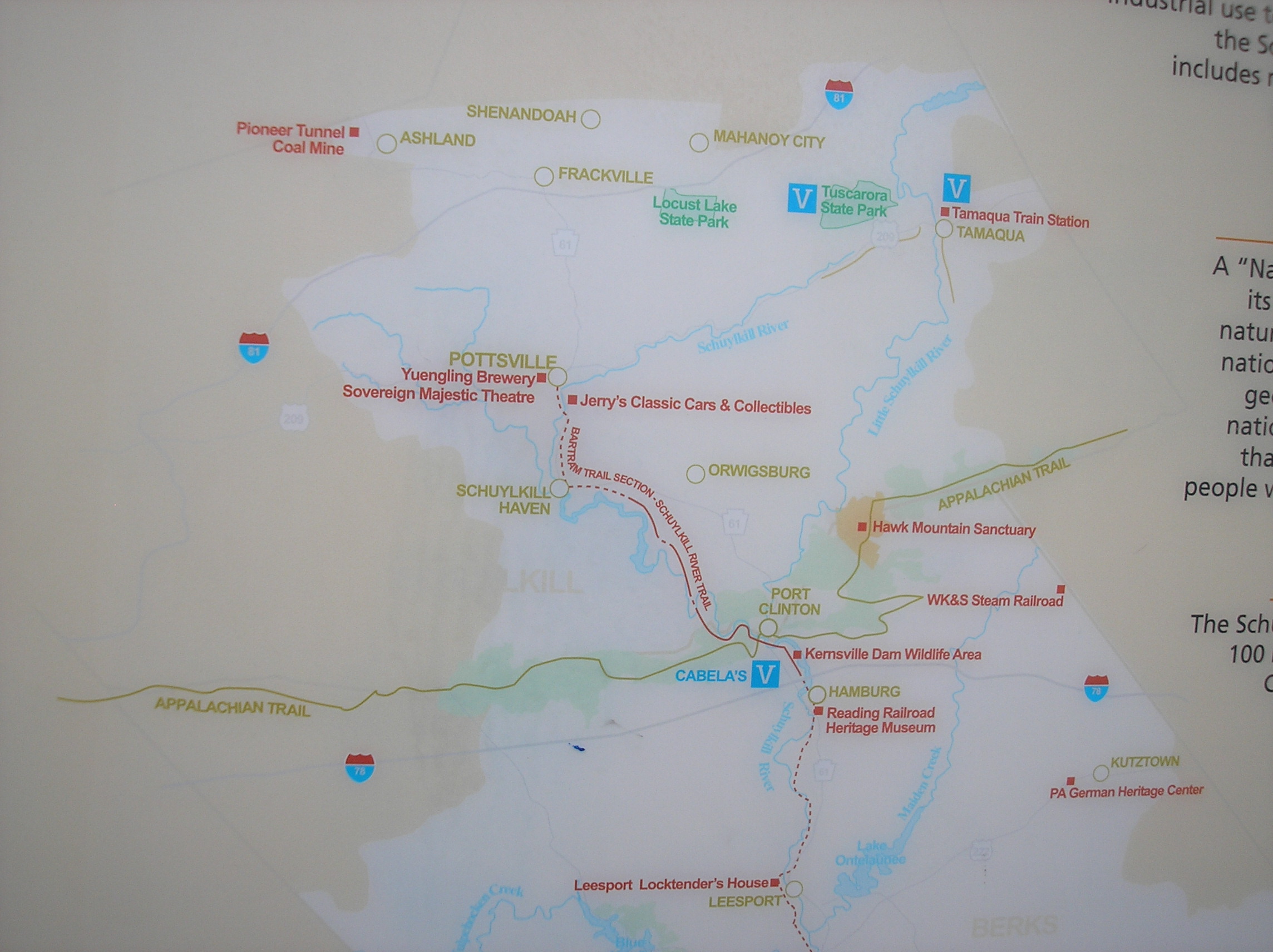
“Schuylkill Banks” is name of the entire trail or “Heritage Area” of the river as shown on the above marker. The northern part of the area is pictured below, enlarged from the above map:
Just to the west of Pottsville is Tremont, Schuylkill County, one of the points in the Civil War Research Project‘s triangular area of study. The Appalachian Trail runs along Peter’s Mountain as it gets closer to the Susquehanna River where it crosses that river at Clarks Ferry, another point in the triangle. Another recognizable place is Schuylkill Haven (on the river).
For further information about Schuylkill River National and State Heritage Area, see the web site.
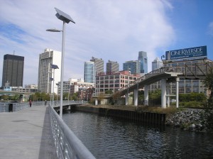
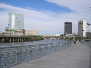
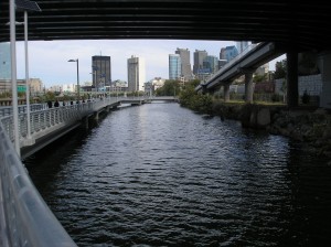
Some additional pictures of the “boardwalk” section of the trail are shown below.
The overhead structure in the last photo is the new South Street, the southern end of the “boardwalk” trail section.
 ;
;

Comments