The Census of 1860
Posted By Norman Gasbarro on June 17, 2012
In 1860, the United States conducted the Eighth Census. The total population of the country was determined to be 31, 443, 321, which represented a 35.4% increase over the Census of 1850. Included in the total population in 1860 were 3,953,761 slaves. Pennsylvania’s population in i860 was 2,906,215.
Pennsylvania’s white population in 1860 was 2,849,266.
Pennsylvania had no slaves in 1860. However, in the category of “Free Colored,” which consisted of two groups – black and mulatto – there were 56,949. There were 37,807 persons reported as black and 19,142 persons reported as mulatto. African Americans lived in every county of the state except for Forest County and McKean County. More than half of all African American living in Pennsylvania lived in the area of Philadelphia. The second largest group of African Americans was in Allegheny County and the counties surrounding Pittsburgh and the third largest group was in Dauphin County (Harrisburg).
Only one person claiming to be an Indian was enumerated in Pennsylvania, a female between the ages of 30 and 40, who was living in Allegheny County.
In 1860, census enumerators collected personal information on each individual as follows: (1) name; (2) address; (3) age; (4) sex; (5) color – white, black or mulatto; (6) whether deaf and dumb, blind, insane or idiotic; (7) value of real estate and or personal estate of all free persons; (8) profession, occupation or trade of each person over 15 years of age; (9) place of birth; (10) whether married within the year; (11) whether attended school within the year; (12) whether unable to read or write (for persons over 20); and (13) whether a pauper or convict.
Before the information could be completely tabulated and reported, the country was involved in Civil War.
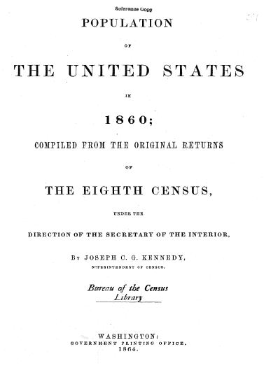
The Census of 1860 provides a wealth of data on what the country was like at the onset of the war. This data is published and is available as a free download as “pdf” files in zip format. Click to download: Population of the United States in 1860; comp. from the original returns of the Eighth Census… – Title Page [PDF], Full Document [ZIP, 113.7 MB].
For the purposes of the Civil War Research Project, the population of the included boroughs and townships in 1860 for the counties of Dauphin, Schuylkill, and Northumberland is summarized in the tables below.
|
DAUPHIN COUNTY |
White |
Free Colored |
Aggregate |
|
Gratz Borough |
303 |
10 |
313 |
|
Halifax Borough |
466 |
7 |
473 |
|
Halifax Township |
1398 |
9 |
1407 |
|
Jackson Township |
1111 |
12 |
1123 |
|
Jefferson Township |
863 |
0 |
863 |
|
Mifflin Township |
1430 |
0 |
1430 |
|
Lykens* |
1269 |
0 |
1269 |
|
Millersburg Borough |
960 |
1 |
961 |
|
Reed Township |
433 |
1 |
434 |
|
Upper Paxton Township |
1280 |
3 |
1283 |
|
Washington Township |
912 |
2 |
914 |
|
Wiconisco Township* |
2522 |
0 |
2522 |
|
TOTAL |
12947 |
45 |
12992 |
*Census takers confused Lykens Township and Lykens Borough. Some of the Lykens Borough enumeration sheets are included in Wiconisco Township.
|
SCHUYLKILL COUNTY |
White |
Free Colored |
Aggregate |
|
Barry Township |
943 |
0 |
943 |
|
Branch Township |
1595 |
1 |
1596 |
|
Eldred Township |
943 |
0 |
943 |
|
Foster Township |
1331 |
0 |
1331 |
|
Frailey Township |
1149 |
0 |
1149 |
|
Hegins Township |
1072 |
30 |
1102 |
|
Hubley Township |
327 |
11 |
338 |
|
Pine Grove Township |
2806 |
11 |
2817 |
|
Porter Township |
360 |
0 |
360 |
|
Reilly Township |
2891 |
9 |
2900 |
|
Tremont Township |
1934 |
16 |
1950 |
|
Upper Mahantongo Township |
782 |
4 |
786 |
|
TOTAL |
16133 |
82 |
16215 |
|
NORTHUMBERLAND COUNTY |
White |
Free Colored |
Aggregate |
|
Jackson Township |
717 |
0 |
717 |
|
Jordan Township |
955 |
5 |
960 |
|
Little Mahanoy Township |
320 |
3 |
323 |
|
Lower Mahanoy Township |
1664 |
0 |
1664 |
|
Upper Mahanoy Township |
990 |
0 |
990 |
|
Washington Township |
870 |
0 |
870 |
|
TOTAL |
5516 |
8 |
5524 |
Some of the information for this post was taken from Wikipedia.
 ;
;


Comments