1862 Map of Dauphin County
Posted By Norman Gasbarro on June 30, 2012
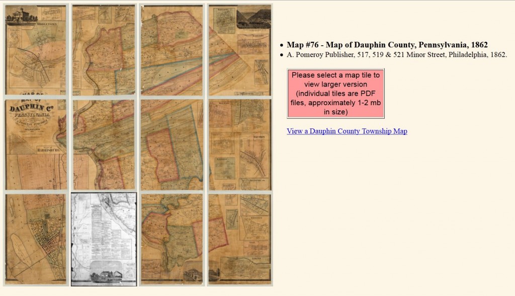
An 1862 map of Dauphin County, Pennsylvania, by A. Pomeroy Publisher (1862) , Philadelphia, is available on-line through the web site of the Pennsylvania Historical and Museum Commission, Harrisburg. An original copy of the map is available at the Pennsylvania State Archives.
To access the web page for this map click here . The on-line version of the map is presented in 12 sections. To access a specific section of the map, click on the section and it will download as a “pdf” which can be enlarged without loss of significant resolution to about 400% of the size of the original.
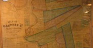
Gratz Historical Society also has a copy of this map, a portion of which is shown below:
Some specific areas of Dauphin County and their location in the archives map section can be accessed (downloaded) directly by clicking on the section number following the geographic name below:
——————————
Gratz Borough: Section 3, Section 12
Lykens Township: Section 3, Section 4,
—————————–
Lykens Borough: Section 3, Section 12
Wiconisco Borough: Section 3, Section 12
Wiconisco Township: Section 3, Section 4
——————————
Elizabethville: Section 2, Section 3
Washington Townships: Section 2, Section 3
——————————
Berrysburg: Section 3, Section 4,
Uniontown (Pillow): Section 8
Mifflin Township: Section 2, Section 3
——————————
Halifax Borough: Section 6, Section 7, Section 8
Matamoras: Section 8
Halifax Township: Section 2, Section 6
——————————
Millersburg: Section 2, Section 4, Section 8
Upper Paxton Township: Section 2
——————————
Fisherville: Section 1, Section 2
Jacksonville/Enders: Section 2
Jackson Township: Section 2, Section 3, Section 4, Section 6
——————————
Note: Where more than one section is given, parts of the township or borough may be in several sections of the map and/or the borough also appears within the township map.
 ;
;


Comments