Susquehanna River Bridge Between Herndon & Port Trevorton
Posted By Norman Gasbarro on May 19, 2011
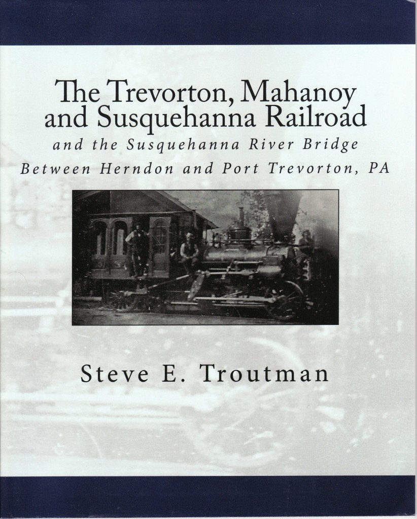
A recently written book by Steve E. Troutman sheds light on a relatively unknown bridge across the Susquehanna River between Herndon and Port Trevorton – a bridge that existed during the Civil War period and may have been involved in a incident involving Confederate scouts in the crucial days of June 1863 just before the Battle of Gettysburg. Troutman’s book, entitled The Trevorton, Mahanoy and Susquehanna Railroad and the Susquehanna River Bridge Between Herndon and Port Trevorton, PA, carefully traces the history of the development of coal mining and the origins of the railroad and the construction of the bridge across the Susquehanna linking the mining interests in the lower part of Northumberland County with the canal transportation on the western side of the Susquehanna.
Herndon, which was not incorporated as a borough until 1902 was formerly called Trevorton Junction and was a stop on the Northern Central Railroad on the way north to Sunbury. Herndon was originally the name of the post office that was established there and can be seen on the 1875 map shown below. By 1857, as previously noted in other posts, the Northern Central Railroad had a completed line from Baltimore, Maryland, to Sunbury, Pennsylvania. That railroad had stops in the geographic area of study for this Civil War Research Project – including Halifax, Millersburg and Herndon (Treverton Junction). It was the major north-south route for the transportation of people and goods through central Pennsylvania during the Civil War and many of Pennsylvania’s volunteer soldiers traveled on it on the way to and from the war. In and near Harrisburg, called “The Crossroads of the Union,” the railroad connected with other lines operated by the Pennsylvania Railroad and the Philadelphia and Reading Railroad – and the major east-west links that were a vital part of the Union war effort.
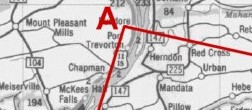
From the current map used to define the area of study of the Civil War Research Project, Port Trevorton can be seen at the “angle A”, western side of the Susquehanna River, and Herndon can be seen just across the river on the eastern side. In the middle of the river is White’s Island.
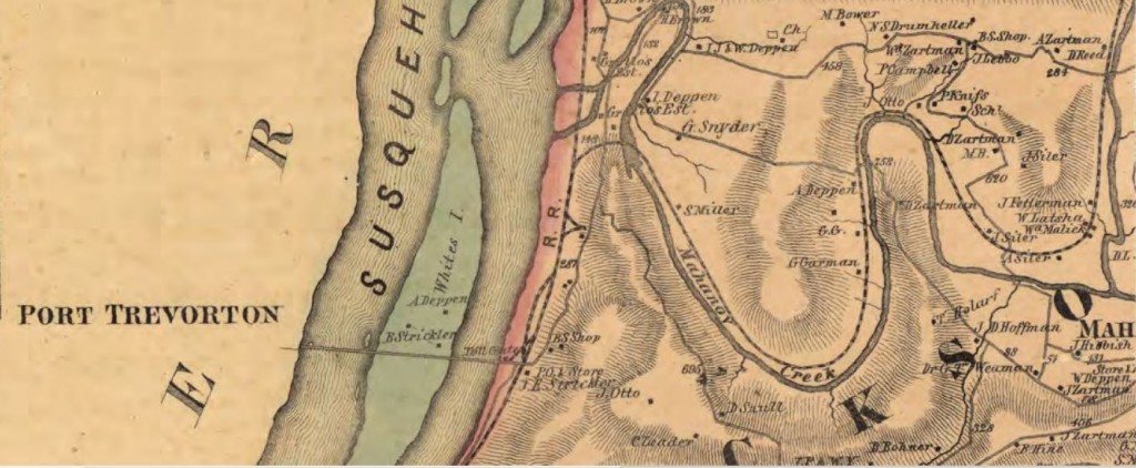
In the above map from 1857, the bridge across the river can be seen as a horizontal line between Port Trevorton and the eastern bank of the Susquehanna. The green area is White’s Island. To the right of the red area on the eastern bank is the line of the Northern Central Railroad. Snaking to the right along the Mahanoy Creek is the line of the Trevorton, Mahanoy and Susquehanna Railroad – into the coal fields and mines of Lower Northumberland County.
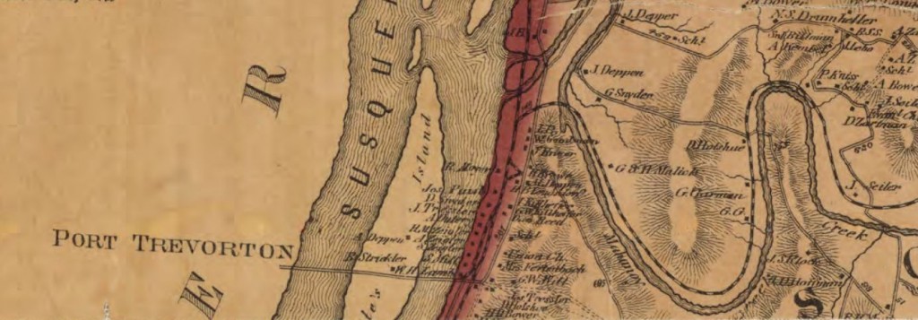
By 1875, the area around the bridge had become much more developed as can be seen by the above map. The names on the map represent property owners and businesses along the railroad line but the rail route remains essentially the same. The bridge over the Susquehanna was primarily for rail transportation of coal to the western side at Port Trevorton. The 1875 map does not indicate the fact that the bridge was last used on 13 August 1870 and the owners began tearing it down a short time later (see below).
The bridge was designed by David Rockefeller (1802-1876) of Sunbury, Northumberland County, Pennsylvania, who was a surveyor and engineer. Rockefeller’s obituary appears in Troutman’s book on page 45. According to information in the book, the bridge was started in April 1853 and completed in January 1855 at a cost of $200,000 which was raised by selling stock at $20 per share. There were two major sections to the bridge – from Treverton Junction to White’s Island, and from White’s Island to Port Treverton. It took eight spans of 150 feet each to make the eastern crossing to White’s Island and fifteen spans of the same length each for the western crossing from White’s Island. The piers were made of stone construction and the bridge was built of whitewashed oak and pine resting on cast iron which was attached to the piers. Over the years of its existence, it was variously known as the Trevorton Bridge, the Union Bridge, and the Herndon Bridge. The most common name used was the “Trevorton Bridge.” An interesting section of Troutman’s book provides a digital reconstruction of the bridge as it may have looked when it crossed the river during the Civil War Period (pages 74-76) and an aerial photo with indications as to where the piers and spans were located (page 59). On the Port Treverton side, the railroad connected with the canal. Troutman provides maps, drawings and photographs of the canal operations.
The useful life of the “Trevorton Bridge” was about fifteen years. It was doomed because its main function was to connect the coal mining operations in Northumberland County with the canal on the western side of the river. The canal era was coming to an end. With the construction of more railroads it became more practical and cost efficient to use rail transport only. Lynn C. Shadle, in a news story he wrote for the Upper Dauphin Sentinel, indicates how the bridge fared in its last days:
The bridge was torn down for a variety of reasons. One was the decay of the structure, while another was the Pennsylvania canal’s purchase of the canal from the state and then the raising of the tolls. Another reason was the building of a new railroad from Trevorton to Shamokin. This made it possible to take the coal to market entirely by rail route.
The bridge’s toll house was built on an abutment on the south side of the track on the approach to the bridge. It remained intact for over 100 years until Hurricane Agnes hit in 1972. At that time the flooding waters washed away the foundation under the structure. it was therefore necessary to raze the historic building.
Today little remains of the bridge that was once so vital to the life of this Lower Northumberland County borough. The pier beds may still be viewed in the river, and 196 car-loads of pure pea coal remain on white Island where there were dumped as fill. The rest of the bridge is a memory. (Troutman, page 50).
For those interested in railroads and bridges of the Civil War era, the Troutman book is a “must have”. The book is filled with photographs, current and vintage, as well as stories involving the lore of the bridge and railroad as well as the towns in the surrounding area.
The pictures that follow show some of the area around Herndon today and the area of the Susquehanna River where the bridge once stood. They were taken in April and May of 2011, when the river was at near flood stage, so the ruins of the bridge piers are not visible.
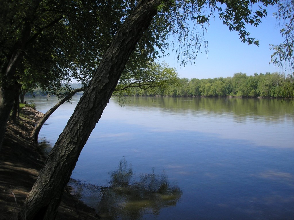
Looking south along the eastern shore of the Susquehanna to the point where the Treverton Bridge crossed the Susquehanna to White’s Island.
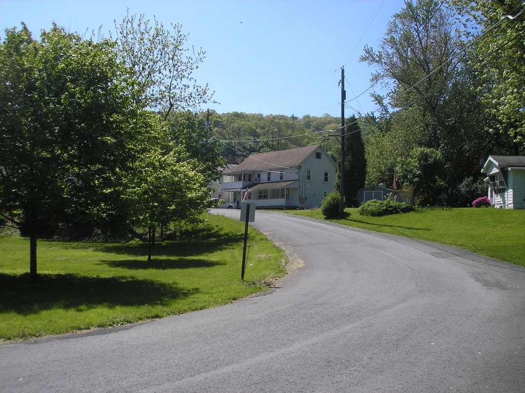
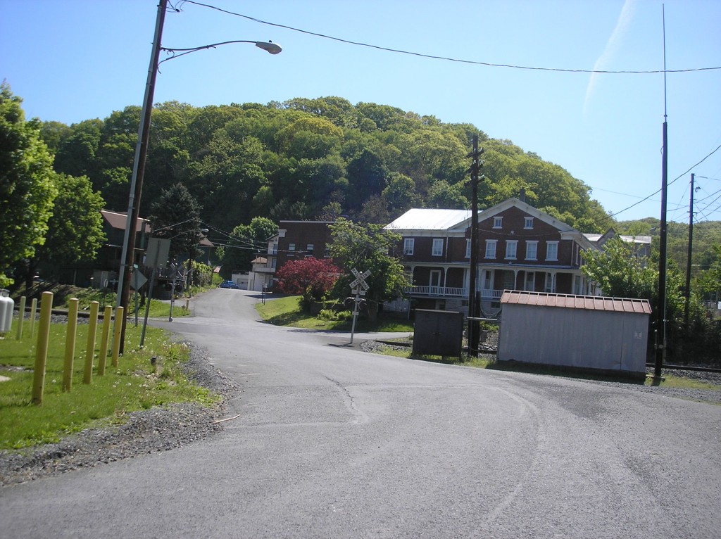
Coming up the hill from where the river bridge once stood. The tracks to the bridge were once on this street.
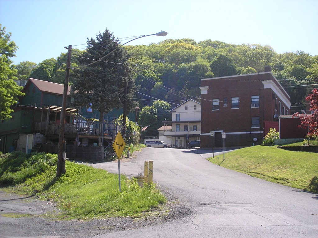
Continuing across the tracks the newer brick building at the top of the hill is the office of the Herndon National Bank.
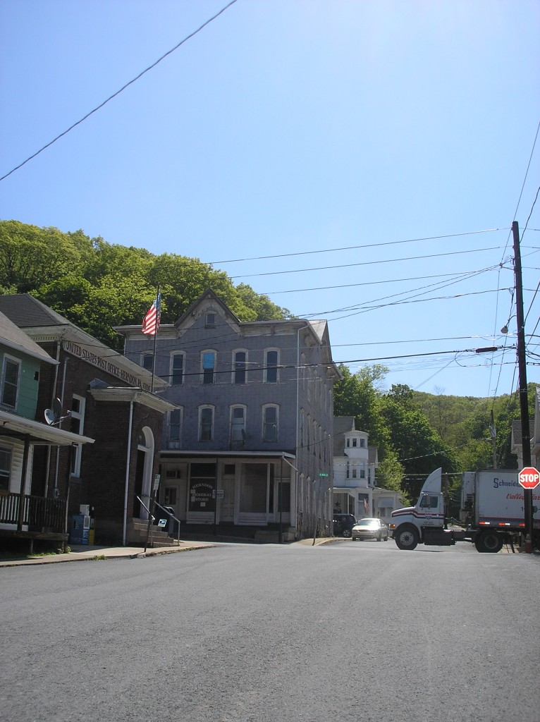
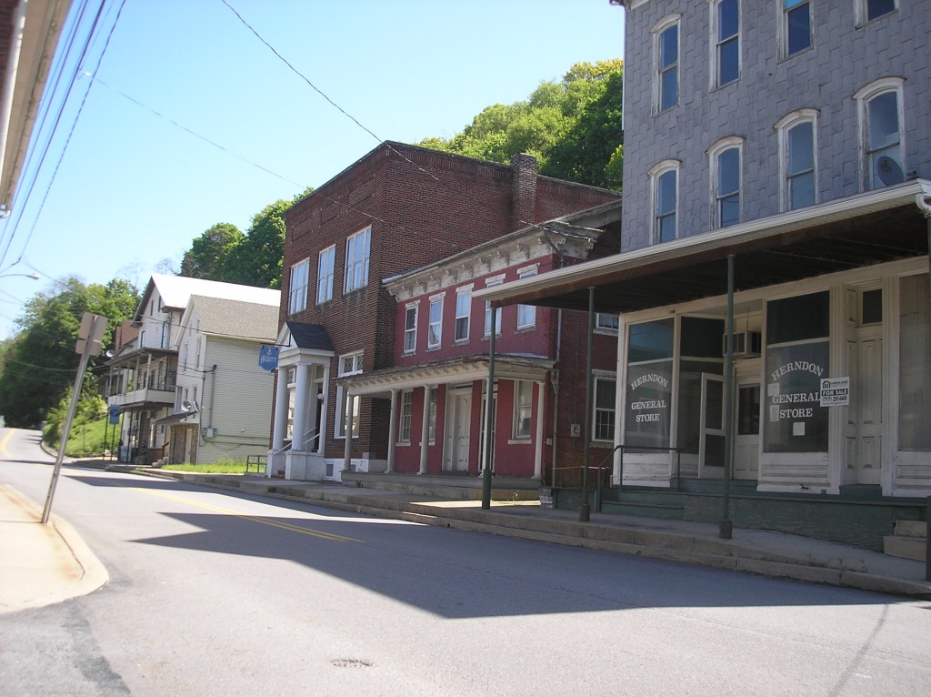
The main intersection of Herndon. The post office building at the left was the Herndon National Bank at the beginning of the 20th century. The general store (gray building) is vacant.
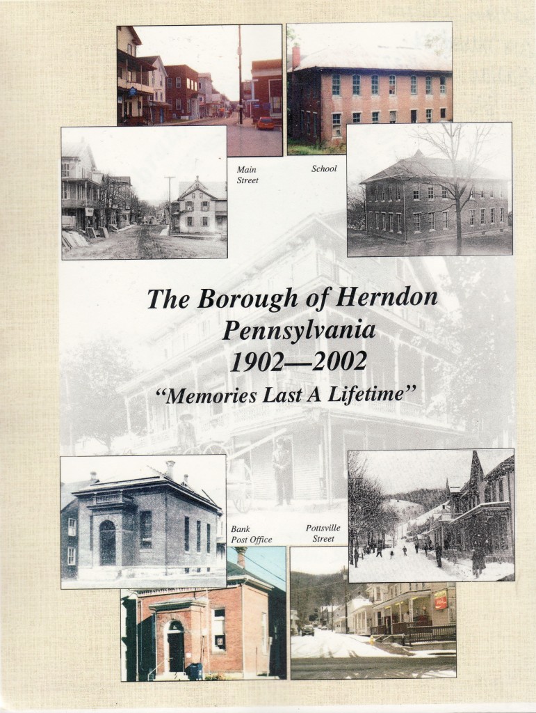
For those interested in finding out more about the history of Herndon, another book is suggested. The Borough of Herndon Pennsylvania, 1902-2002, Memories Last a Lifetime, was published for the centennial celebration by EWK Associates of Herndon. Copies can be found in area libraries and occasionally through used book sellers.
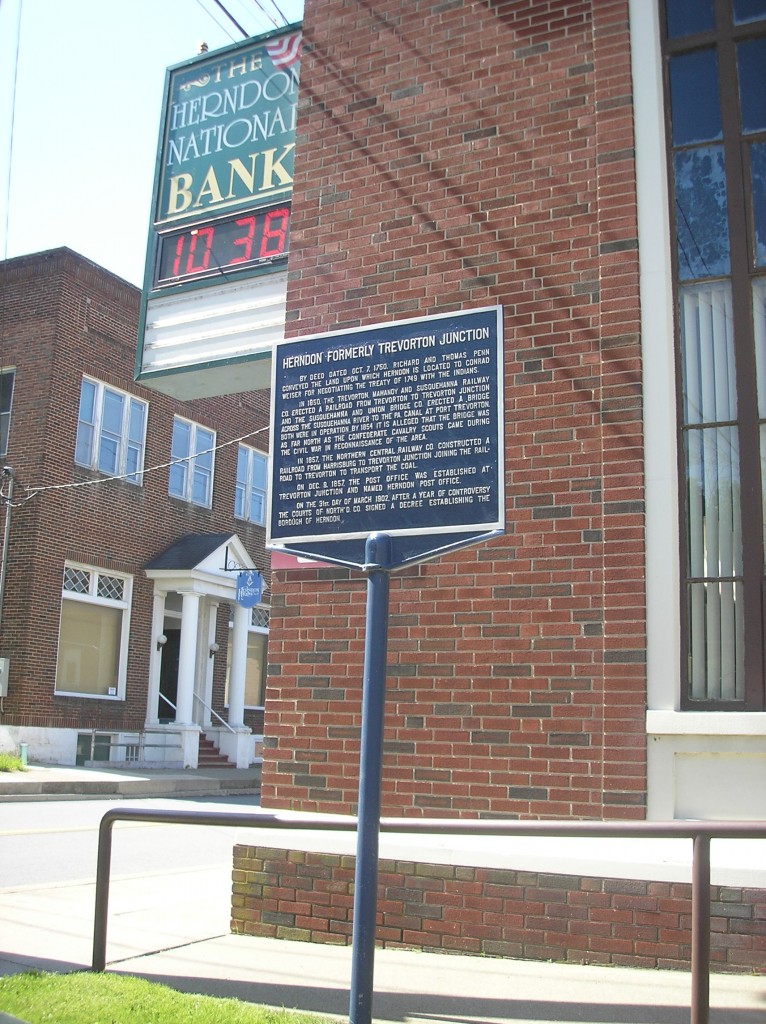
The historical marker at the Herndon National Bank will be discussed in further detail in tomorrow’s post.
Historical maps used in this post are from the web site of the Pennsylvania Archives. The portion of the 1860 census is from Ancestry.com.
 ;
;


Comments