Underground Railroad in Pennsylvania – Part 3 of 3
Posted By Norman Gasbarro on April 13, 2011
On Monday, the post discussed Harrisburg as a “hub” of activity for the Underground Railroad, rather than a final destination as it was presented on Sunday. Those escapees moving north from Harrisburg would have passed through and possibly stopped over in the Lykens Valley area as they made their way to Elmira, New York, and from there to Canada. Part One also hypothesized that a black family in Gratz during the Civil War period could have have come north on an early Underground Railroad route.
In his book, Underground Railroad in Pennsylvania, William J. Switala presents a map showing the northern route of escape from Harrisburg. A portion of that map is presented below:
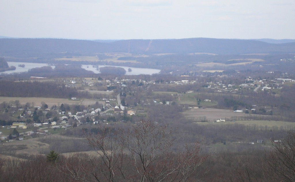
To Switala’s map, a red triangle has been added to represent the approximate area of this Civil War Research Project. Noting from the map that most of the communities in north-central Pennsylvania have rich documentation that the Underground Railroad was very active there, and noting also, that there was a single route through the Lykens Valley area, it can be concluded that most, if not all the escapees using this central route passed through the Lykens Valley area. Note also that the bends in the Susquehanna River are most noticable north of Peter’s Mountain (the bottom line of the triangle). These bends can be seen in a recent photo taken from the Appalachian Trail lookouts in one of the hairpin turns at the top of Peter’s Mountain:
The Borough of Halifax, Dauphin County, lies in the valley. The road winding down into Halifax is current Route 225, also known as Peter’s Mountain Road. Not seen in this photo is the river road, Route 147, or the railroad, the former Northern Central line which wound its way up the river to Sunbury and thence by a different railroad, continued to Elmira, New York. Sunbury, Northumberland County, Pennsylvania, lies on the eastern bank of the Susquehanna River opposite the town of Selinsgrove, and is not noted on the map.
On Switala’s map, the first Susquehanna River community north of the red triangle is Selinsgrove, which also has documented Underground Railroad activity. The Governor Snyder Mansion in Selinsgrove, home of Simon Snyder a former Pennsylvania governor, was well-known as a “station.”
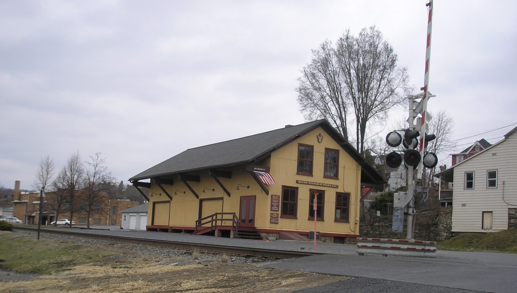
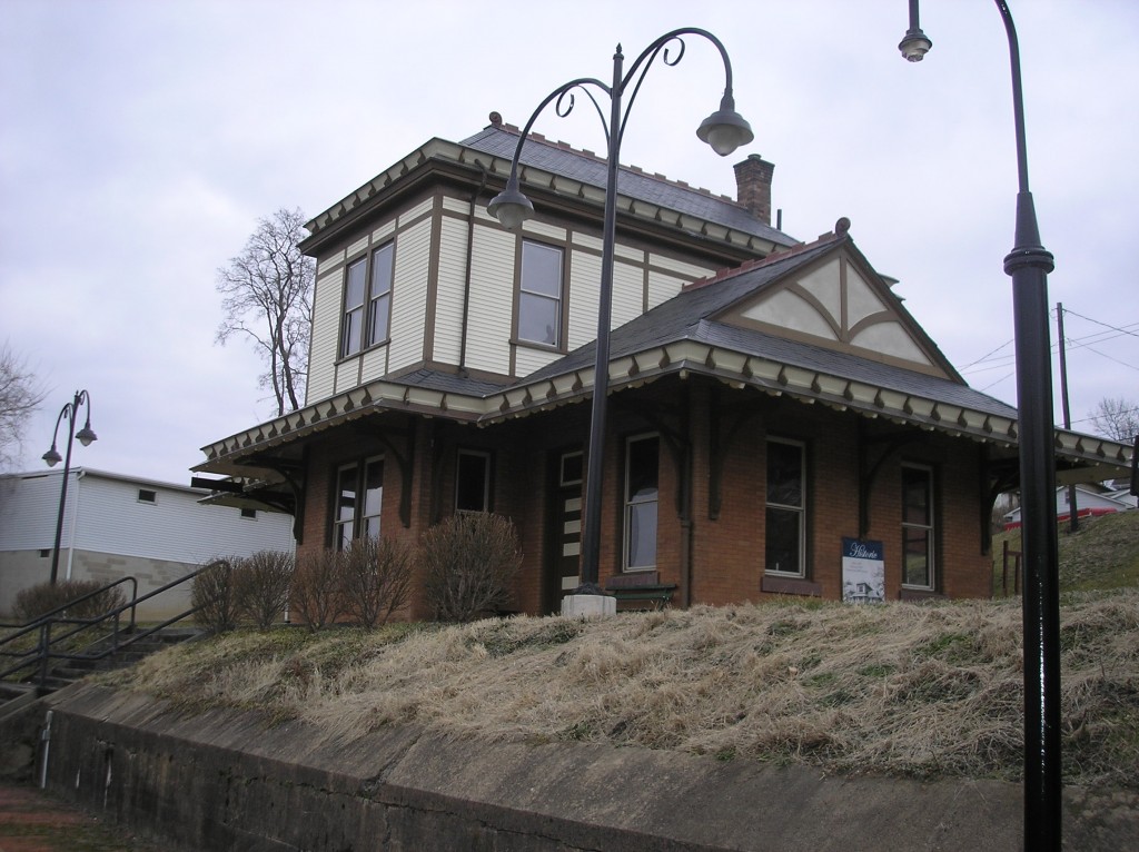
Getting through the Lykens Valley area was very easy since one of the most common methods of Underground Railroad travel was for the escapees to ride on the tops of railroad passenger cars at night. Scheduled trains frequently stopped at stations at Halifax, Millersburg and Herndon on their way through to Sunbury. The roadbed for the old Northern Central Railroad passes through the town of Millersburg, but the station there today is not the same one as in the Civil War era. There is also an old freight station there as well – again, not the same one that was there during and before the Civil War.
The other ways of travel, as previously mentioned, were by foot path over Peter’s Mountain or along the river road.
Switala notes that communities all along up the Susquehanna River participated in the Underground Railroad but then fails to mention any of the communities in the Lykens Valley area or how they participated.
Surprisingly there is little evidence in the Lykens Valley area today that the Underground Railroad ever passed through. There are occasional family stories of helping escapees, but few African-American who passed through decided to stay. We can only speculate why this was so. Many areas of the country where there was heavy Underground Railroad activity have homes and barns with secret hiding places, wagons with false bottoms, and other evidence to prove existence. Much research still needs to be done.
Anyone with additional information on Underground Railroad activities, “stations,” or hiding places is urged to contribute it.

Historic Millersburg Freight Station of the Northern Central Railroad. This is a post-Civil War station and is now the home of several Millersburg businesses. However, the track is in the same location as the "Underground Railroad" route to the north.

Historic Millersburg Passenger Station of the Pennsylvania Railroad. This station has been restored and is on the National Register of Historic Places. Although it is not the Civil War era station, the track in front is in the same location as the Northern Central Railroad track that was also part of the Underground Railroad.

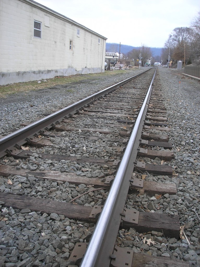
Looking north along the old roadbed of the Northern Central Railroad in Millersburg, the path of escape for many African Americans heading to Elmira, New York, and Canada.
 ;
;


When I was a kid, I lived in Shamokin Dam and went to high school in Selinsgrove PA. There were a lot of stories about slaves/underground railroad locations. In addition to the Gov. Snyder Mansion, there were also stories that the Hotel Governor Snyder located on 11&15 through town, was also a station. In the ’50s the owners of the Hotel Governor Snyder allowed a black woman to stay there when other hotels in the area refused (so my grade school teacher attested). There is an island in the river that extends as basically a single island with cross-cuts in it from Selinsgrove to just below the location of the current Fabridam in Shamokin Dam. A railroad bridge crosses this island and spans the river. The island was referred to as ‘Negro Island’ or by a more disparaging monicker with no explanation given. I was curious as to why. I actually walked the island from near the bridge to Shamokin Dam (because I could), when I was a kid. I found out that blacks stayed at the mansion and/or hotel and followed the train tracks to the bridge. The left the bridge and walked on the west bank of the river north to the location of an old eel dam. The generally crossed there in the evening and made camp on the island at night. I suppose it was a relatively inaccessible site. Their presence and its purpose as a campsite gave the island its unofficial name. At daybreak they walked north and waded the shallow river stretch (below the Fabridam), and probably crossed shore close to where the Fabridam is now located. they would’ve followed the old canal north to the base of Blue Hill. I am told they went up Blue Hill (probably where Tedds Landing is now located — or somewhere close to it) and headed north staying off the roads (currently RTEs 11 and 15). There is a barn in Winfield PA, well known locally for having chains and manacles to chain up the slaves at night. That seems odd, but it was for the protection of both the station owner and the slaves as well. It was against the law to be aiding slaves, so I suppose nobody was interested in ex-slaves having second thoughts or getting home-sick. There also are old homes in Lewisburg who were on the railroad, but if people think the slaves traveled up the routes denoted by modern highways … not so much.