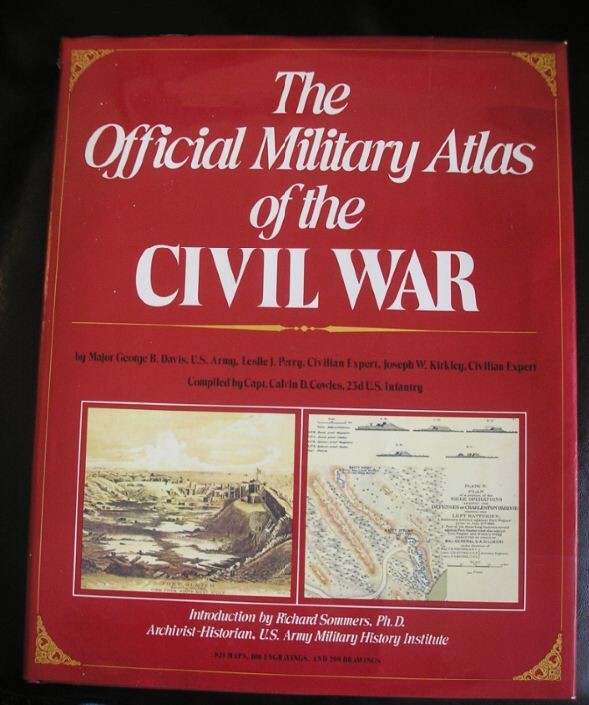
Official Military Atlas of the Civil War
Posted By Norman Gasbarro on October 26, 2012
After the Civil War, the army set about the task of compiling an official military history to include documents from both sides. Titled, War of the Rebellion: A Compilation of the Official Records of the Union and Confederate Armies (or more simply, Official Records – O.R.). Every possible kind of document was included – official reports, telegrams, casualty lists, etc. – from all theaters for the entire period of the war. At some point it was decided that a collection of maps was needed to supplement the Official Records. For most of the events, maps were already available, but for the events where maps were lacking (or were too inaccurate), cartographers were commissioned to fill in the gaps. Originally, these maps were published in “folios” and were issued over a period of time.
In recent years, the maps have been re-produced in book form. One of those reproductions is pictured above and is reviewed below.
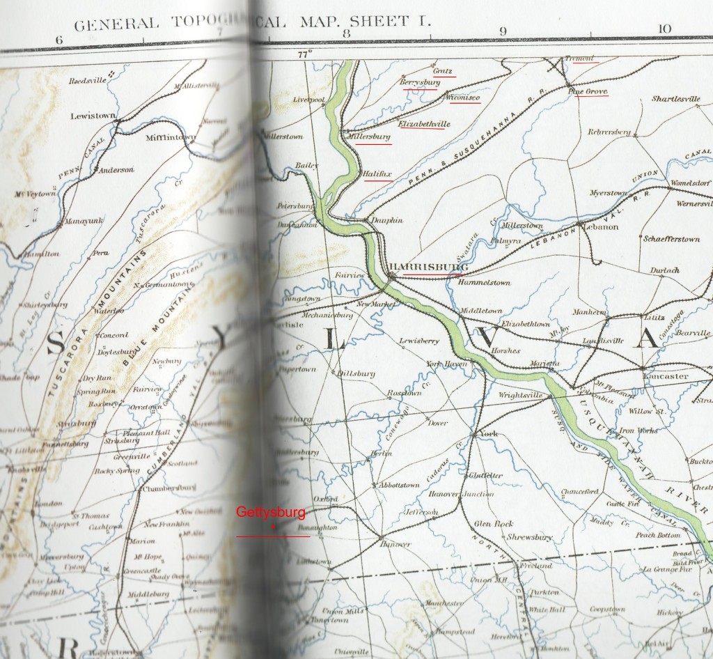
A major fault in this atlas can be seen from the above cut from Map Number CXXXVI (138), the immediate area surrounding the town of Gettsyburg. Gettysburg (added in red in the bottom half of the map), appears in the binding area (the seam) and it cannot be easily read. This occurs on all the pages where a map is too large to fit on one page and as a result, the central feature of the map is obscured by the binding seam. The above map was chosen because it shows Gratz, Wiconisco, Elizabethville, Berrysburg, and Millersburg, as well as Tremont and Pine Grove (underlined in red near the top of the map cut), all of which are within the study area of the Civil War Research Project. The map is useful though in that it clearly shows how all the railroad lines converged at or near Harrisburg. If Robert E. Lee had not been stopped at Gettysburg, it would have been very possible for all these railroads to fall into Confederate hands – as well as the city of Harrisburg – thus dealing a fatal or near fatal blow to the Union war effort.
The atlas is indispensable for a study of the Civil War simply because in some cases, the maps are the actual ones that the commanders had at their disposal at the time of their movement and battles. The caveat offered though is that the “reprints” presented in this atlas are 10-percent smaller than the originals, so that has to be taken into account when using the scale, which is in “inches.” In addition to the topographical features that are a dominant feature of most of the maps, there are several groupings of drawings of forts, military uniforms, panorama views of towns, etc. that make this book a very comprehensive guide.
To read reviews by persons who purchased this book, click here.
Finding a good used copy at a reasonable price can be a challenge. There are several reprint editions. The one pictured above, published by Grammercy Books (Arno Press) in 1983, was found in a used book store for the amazingly low price of only $3.
For those who wish to find downloadable copies of the maps, one of the best web sources is “ehistory” (click here). The table of contents pages can be viewed to locate the appropriate map. The map list can be found by clicking on “View the Plates”. The example given above, Plate Number 136, is shown below as it appears on the “ehistory” site:
 ;
;


What a find! I wish I’d had the Official Military Atlas when I was researching train routes for my upcoming book, The Gettysburg Vampire. Thanks for this great post, Norman.