Gratz During the Civil War – Fort Jackson
Posted By Norman Gasbarro on November 16, 2011
One of the great mysteries of Civil War Era Gratz is Fort Jackson. At the Gratz Historical Society there is a large framed picture of Fort Jackson (shown below). It gets much attention and comment during tours, but all that can be done is speculate on its use and history. A prior post on the Gratztown Militia hypothesized that it was used by the militia as headquarters for training.
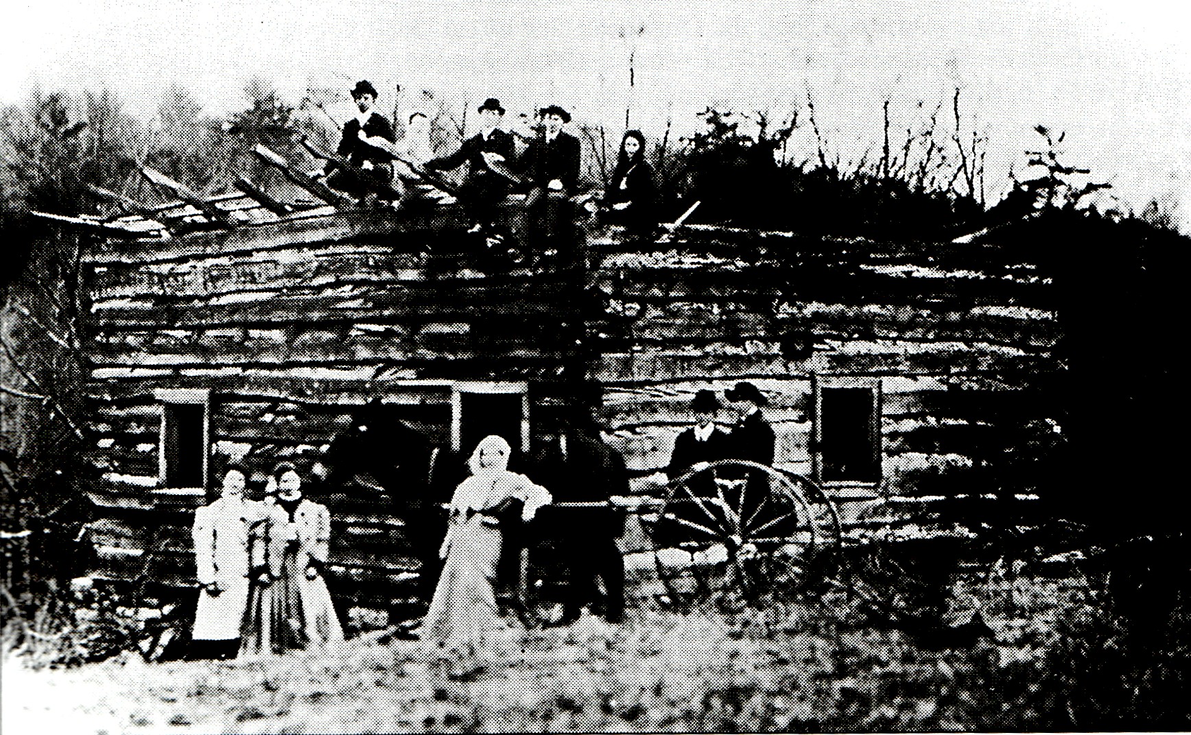
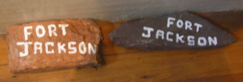
Some additional information and clues can now be presented. A few years back, some members of the Society located the ruins of the fort and brought back two stones for display in the museum. Those stones are shown below.
It is now speculated that the fort was named after President Andrew Jackson, who served from 1829-1837. Jackson’s name was also given to Jackson Township in Dauphin County at the time he was president. If the fort had something to with Indian removal and/or protection from the Indians, Jackson was the “right man” to name a fort after. But how many hostile Indians were in the Lykens Valley at that time? In the 18th century, particularly up to and through the French and Indian War, hostile Indians were a threat to settlers and a system of forts was erected, each about a day’s ride form each other. The fort system went well into western Pennsylvania and included Fort Halifax on the Susquehanna River. But, there is no record that Fort Jackson had an 18th century origin.
As part of the training for the Gratztown Militia, Fort Jackson could have served as an arsenal and headquarters. The fields around the fort would have made good ground for drill and firing practice.
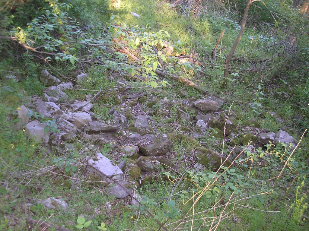
The ruins of Fort Jackson have been located and are shown below. They lie in a difficult-to-access part of the State Game Lands – an area covered with poison ivy and thick brush for a good part of the year – most easily accessible through private property upon which trespassing is not permitted. Although they are in an area that is supposed to be a safety zone between hunting lands and private property, gunners are often seen prowling about and shooting in the area around the location of the fort ruins – clearly against the law and not mindful of safety concerns of residents. The fort ruins do lie within the Borough of Gratz, but the property is clearly marked as “state owned.”
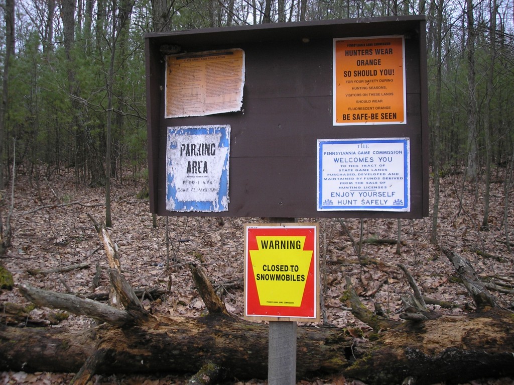
Signs are posted at the entrance to the area where hunting is permitted – an area well past the cul-de-sac at the end of the street leading into the grounds.
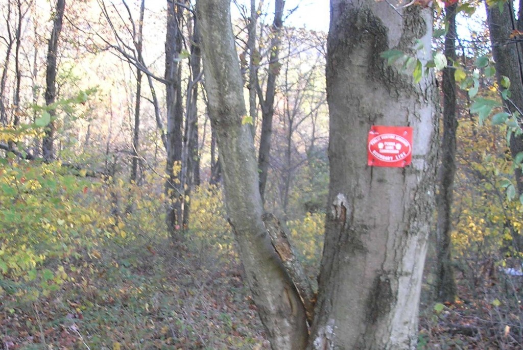
In the area bordering private property of Gratz residents, other signs are posted marking the boundaries.
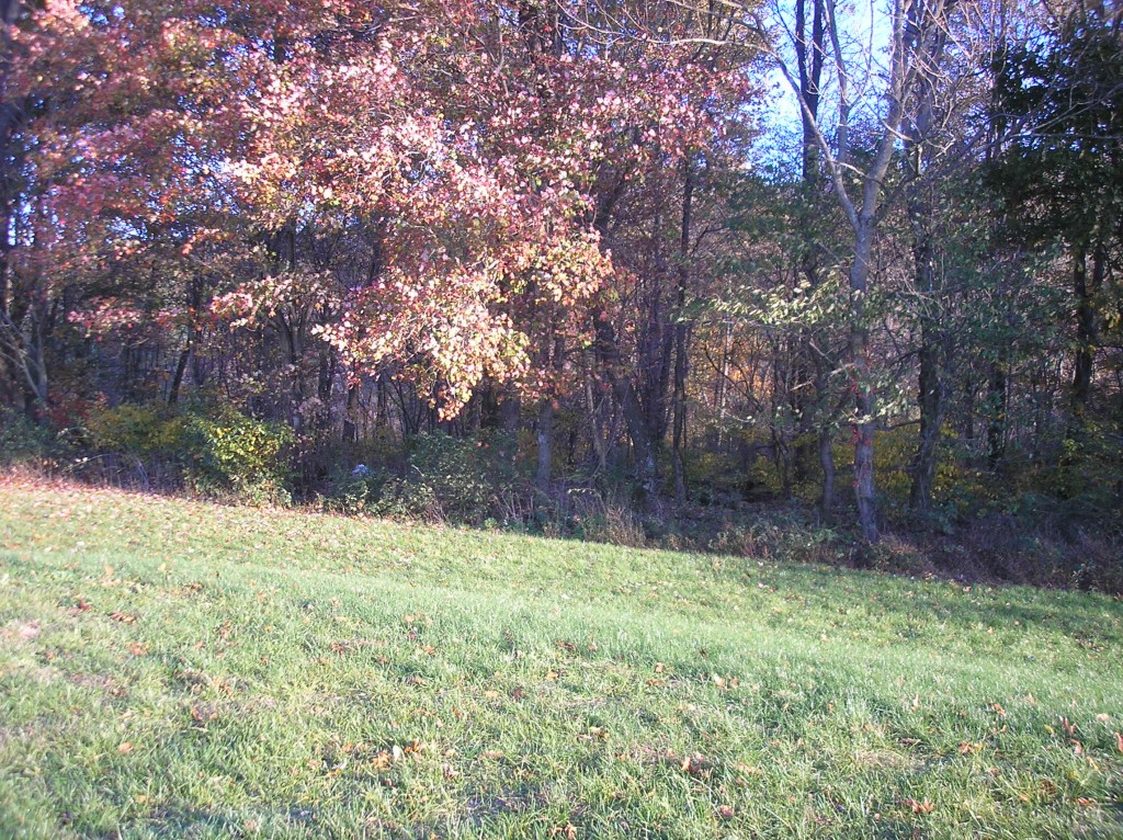
The ruins of Fort Jackson are beyond the trees shown above, but it is not advisable to attempt to find them by heading through private property.
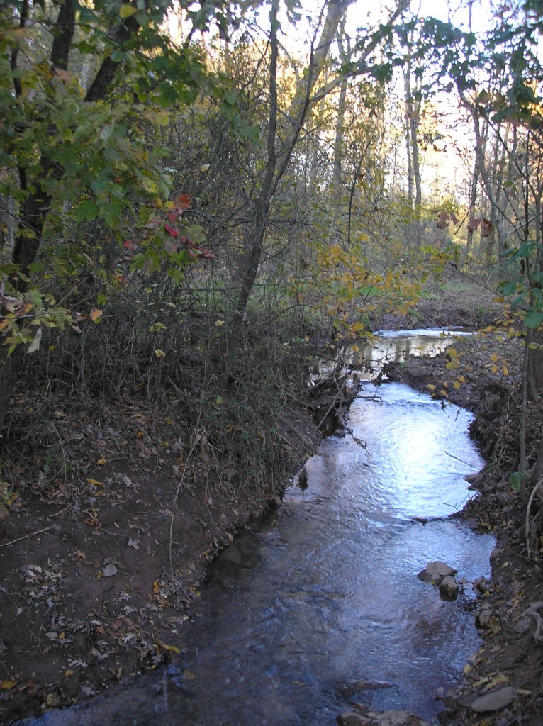
The stream shown in the picture above was part of the original setting of the fort.
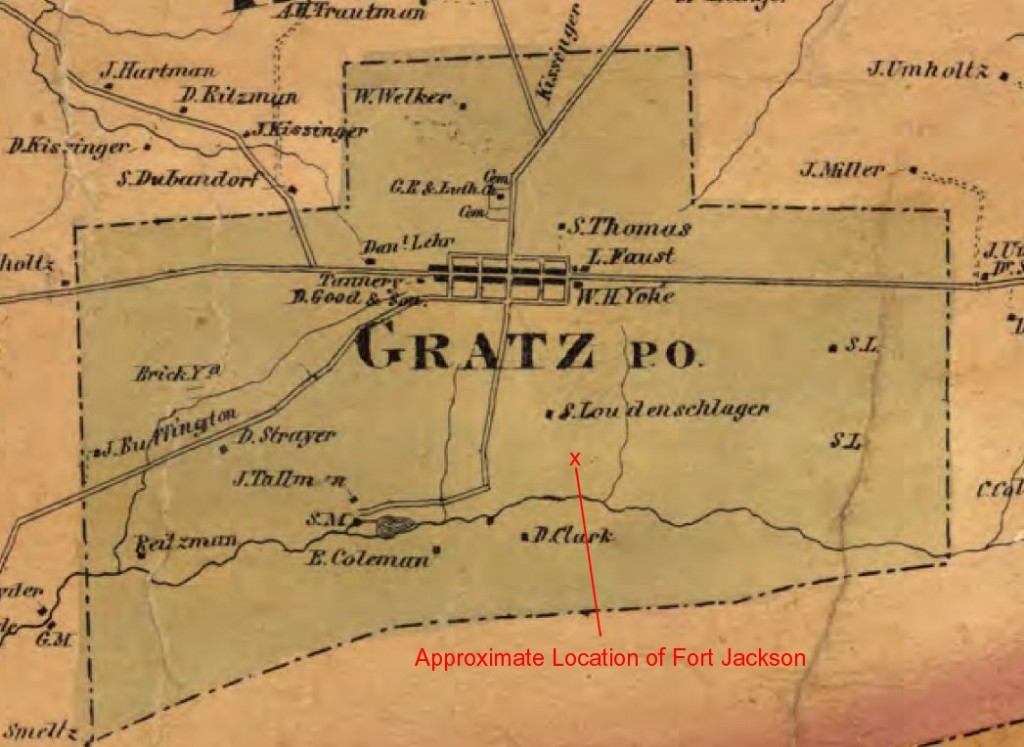
The map shown at the top of this post is from 1862 and was cut from a map of Lykens Township which is available at the Gratz Historical Society.
This is part 25 of an ongoing series on Gratz during the Civil War. Some of the information for this post was taken from the book A Comprehensive History of the Town of Gratz Pennsylvania.
 ;
;


Comments